Our Services
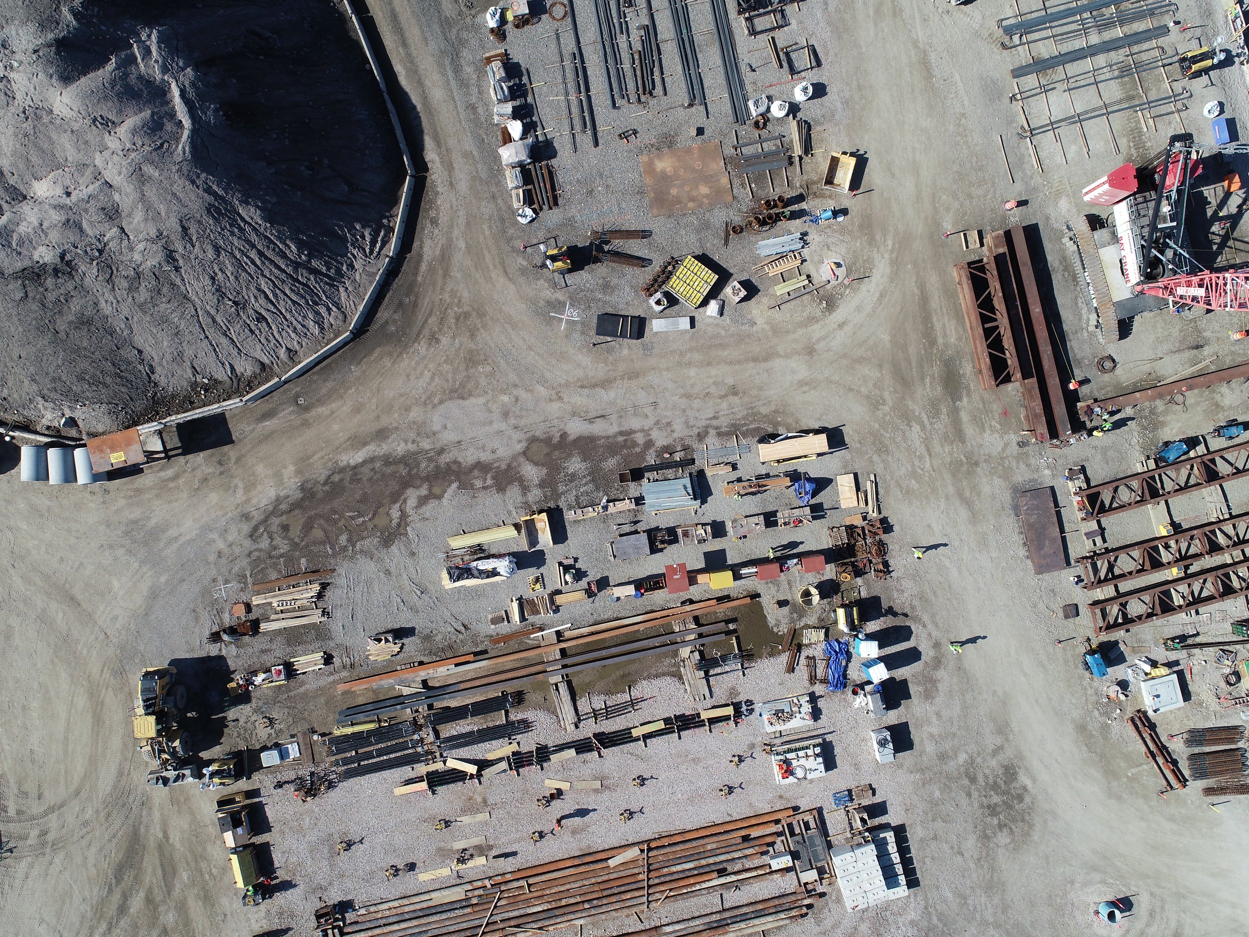
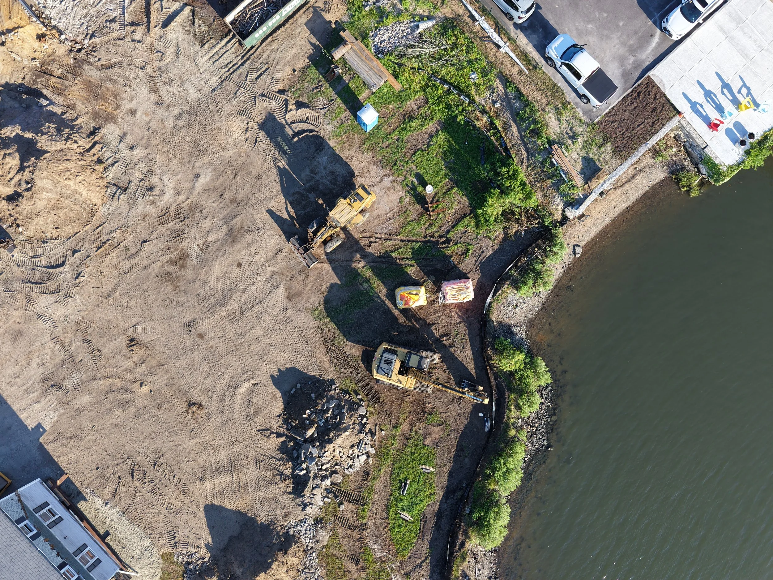
Constsruction
Site Records/ Progress Documentation
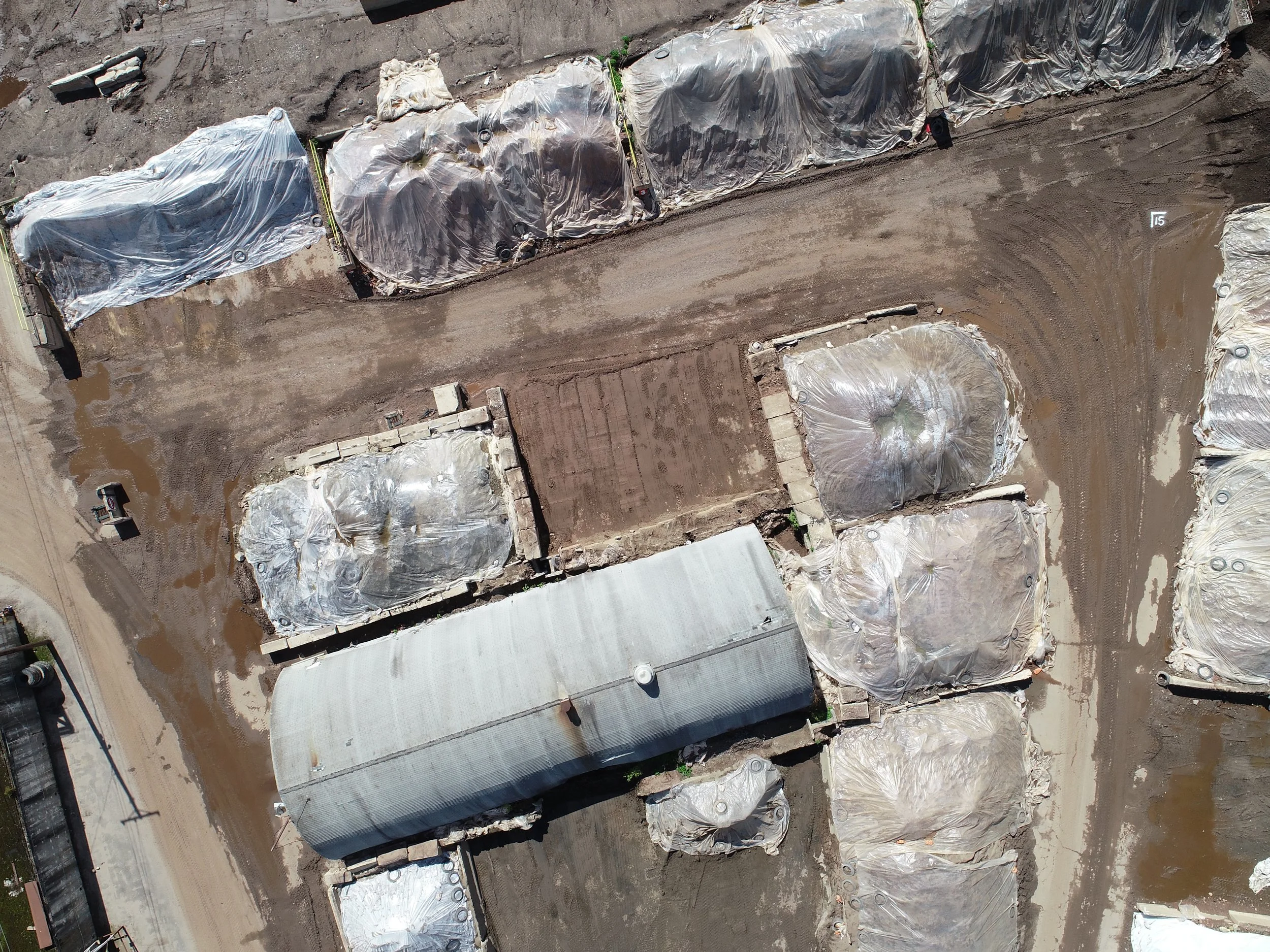
Stock Pile Volumes
Grade Maps
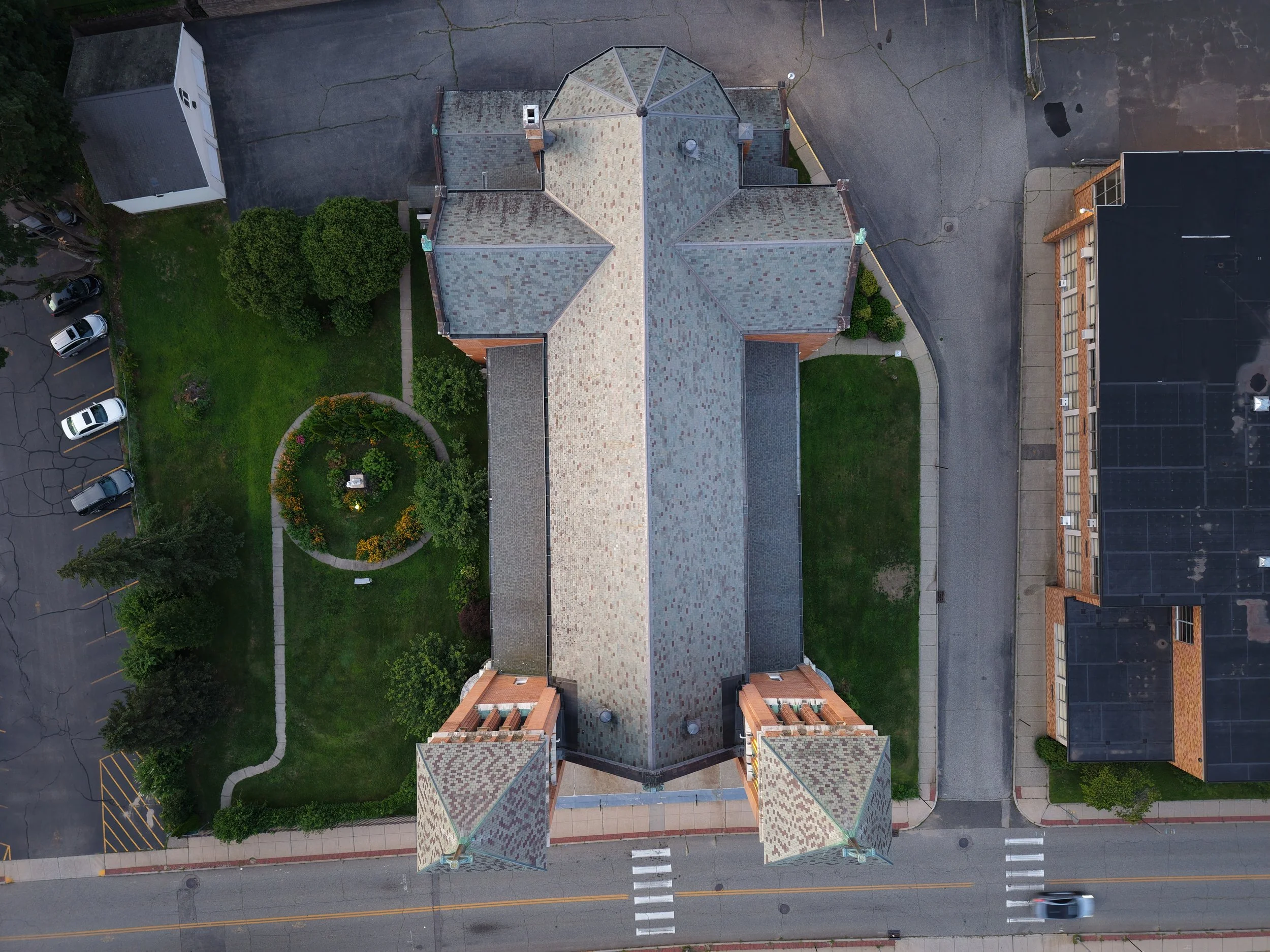
Roof Inspections

Survey
Topography
Real Time High Resolution Composite Aerial Imagery for Planimetrics
Reality Capture
Stockpile Volumes
Real Estate and Advertising
Listings for houses, apartments, or vacations rentals
Advertising for storefronts, events, and signs
Advertising for roofers, asphalt layers, brickwork, concrete, and more
Environmental and Archaeological
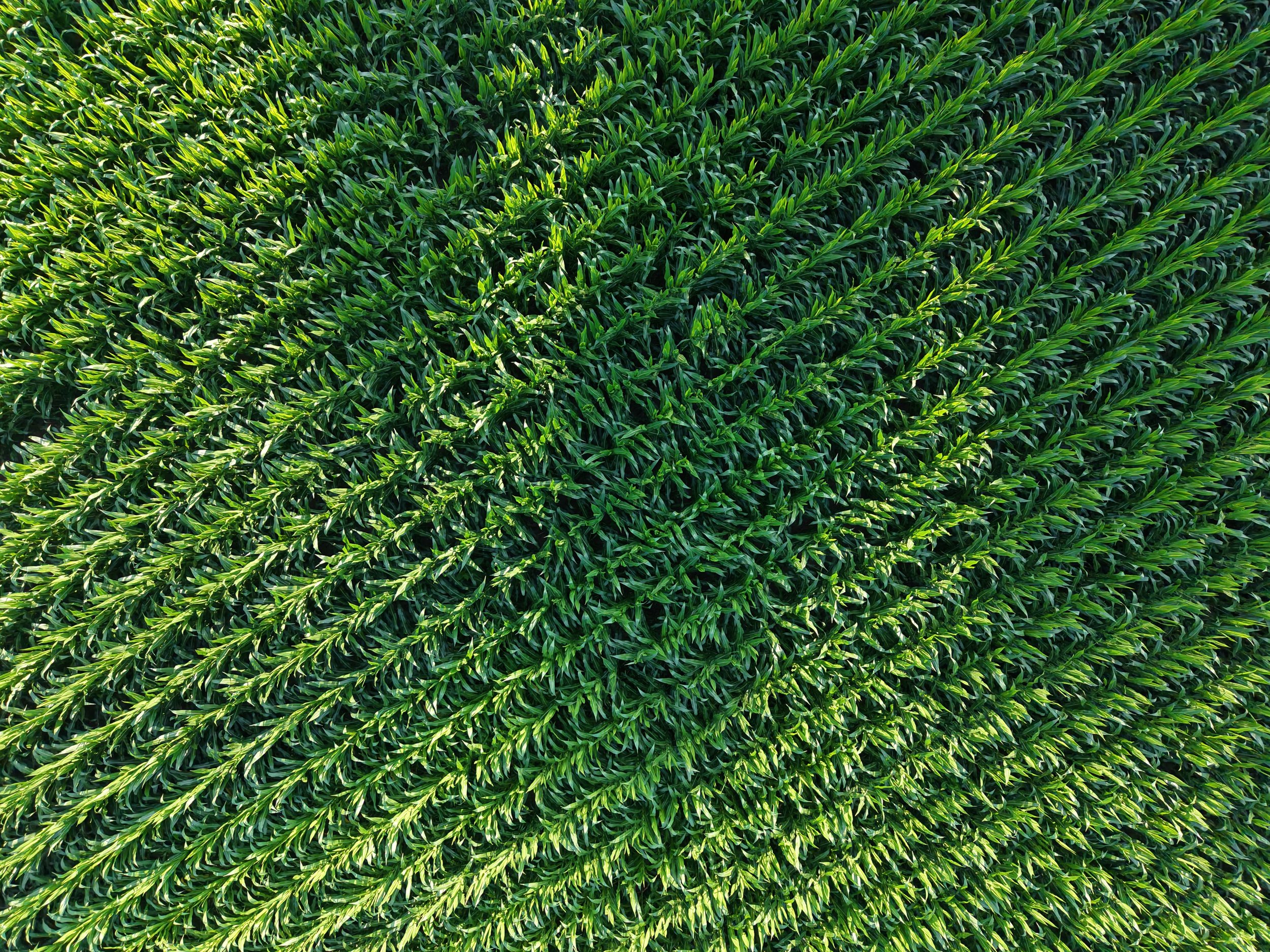
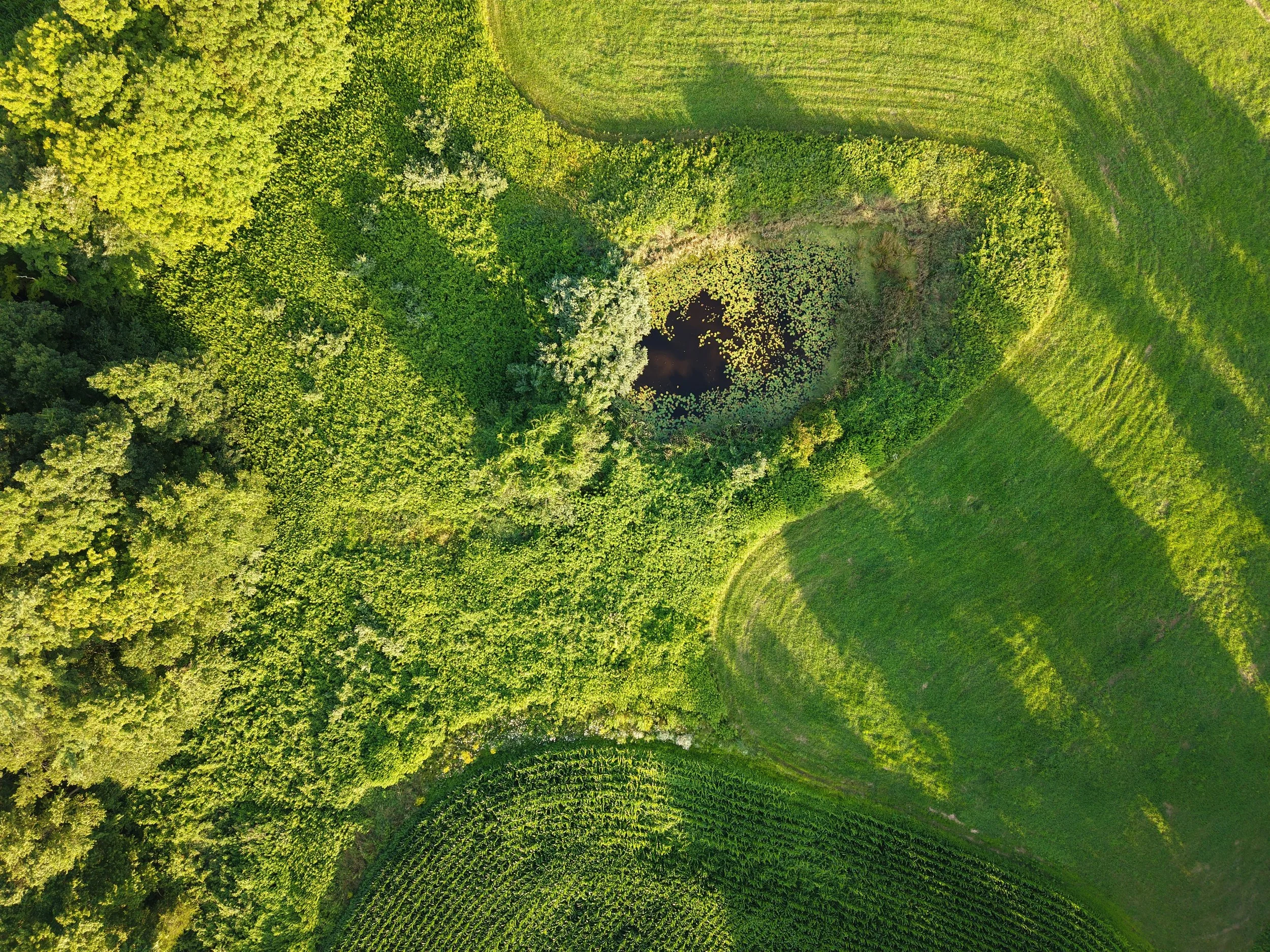
Agriculture, Forestry, Wetland survey
Farmland documentation
Archaeological survey and phase 3 documentation for CRM
Don’t see what you’re looking for? We may still be able to help! We offer services not listed here. Contact us today and let us provide your aerial imagery solutions.
Construction
Take your site documentation to the next level with aerial imagery. Aerial monitoring reduces manual inspection frequency, enabling real time progress tracking, early detection of issues, and better stakeholder alignment. More frequent monitoring; fewer site visits; better coordination.
Still in the planning phase? Satellite imagery can be frustrating when it is out of date and low resolution. We can provide up to date composite imagery for planning, site work, proposals, and client presentations.
Roof inspections can be costly and time consuming. Our aerial imagery can reduce the time needed in the field and and provide a quicker turn around time for your reports.
Survey
Aerial Imagery and photogrammetry is a growing technology in the survey industry. Whether this is your first time supplementing your survey practices with aerial imagery or you have used these methods in the past, we can help you explore ways to cut down costs and time on your next project.
Do yo have a large topography project in an urban setting? We can help you drastically reduce the number of shots on the ground needed to produce accurate contours.
Georectified composite imagery can be used to reduce field time and allow your CAD drafters to pull planimetric line work straight from the imagery. We can work with your current surveyors to reduce time in the field and the office.
Stock pile volumes are tedious and costly when done traditionally. Photogrammetry can provide accurate measurements quickly, making daily or weekly checks possible.
Real Estate and Advertising
Aerial Imagery can help drive business through attractive advertising. Let us take visually impactful images of your business or your next event!
In Real Estate? Today’s homebuyers and renters expect more than static photos. Listings with drone footage attract more clicks, generate more leads, and close faster. Here’s what the research says:
Listings with aerial photos attract 68% more online views (World Metrics, 2025)
Engagement increases up to 83% with drone imagery (Imgix, 2023)
Properties with aerial visuals sell up to 68% faster (Digital Camera World, 2024; Twist Tours, 2023)
73% of sellers prefer agents who use drone photography (Imgix, 2023; Twist Tours, 2023)
Drone imagery improves perceived housing quality and desirability (ArXiv: Cross-Modal Learning, 2024)
Listings with video (including drone) receive 403% more inquiries (Digital Camera World, 2024)

Environmental and Archaeological Research
Aerial imagery has been readily incorporated into research planning and reports in a variety of academic fields. Whether you’re in ecological preservation, Cultural Resource Management, or Urban Planning, aerial imagery can help you execute and record your projects.
Do you have a farm or large tracks of land? Aerial imagery can give you a better understanding of your crop health, production, and extent. We can also track the extent of flooding, drought, or infestations.
Contact us
Interested in working together? Fill out some info and we will be in touch shortly. We can’t wait to hear from you!