Aerial Imagery That Makes an Impact
On you, your business, and your clients
Unleash the Power
of Expert Aerial Imagery
Aerial Imagery is a powerful tool. From reality capture for your survey projects to high impact imagery for house and rental listings that is proven to drive engagement, aerial imagery offers solutions!
We work with you to address your specific needs, while providing FAA certified pilots, drawing from experience in construction, survey, archaeological and environmental research, and remote sensing.
We can help you reach a wider audience, make a bigger impact online, document site progress, measure stockpiles, or save time and money on topographic mapping or line work.
Welcome to Z Axis Aerial Imagery!
Our Services
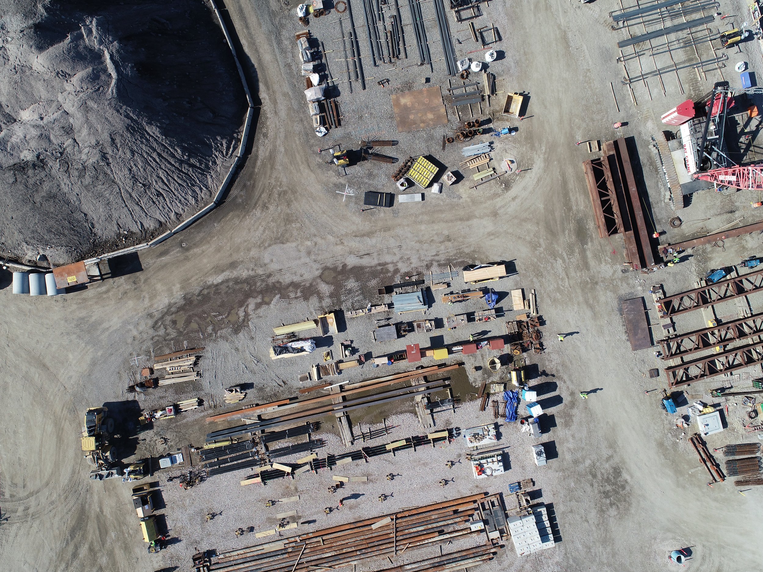
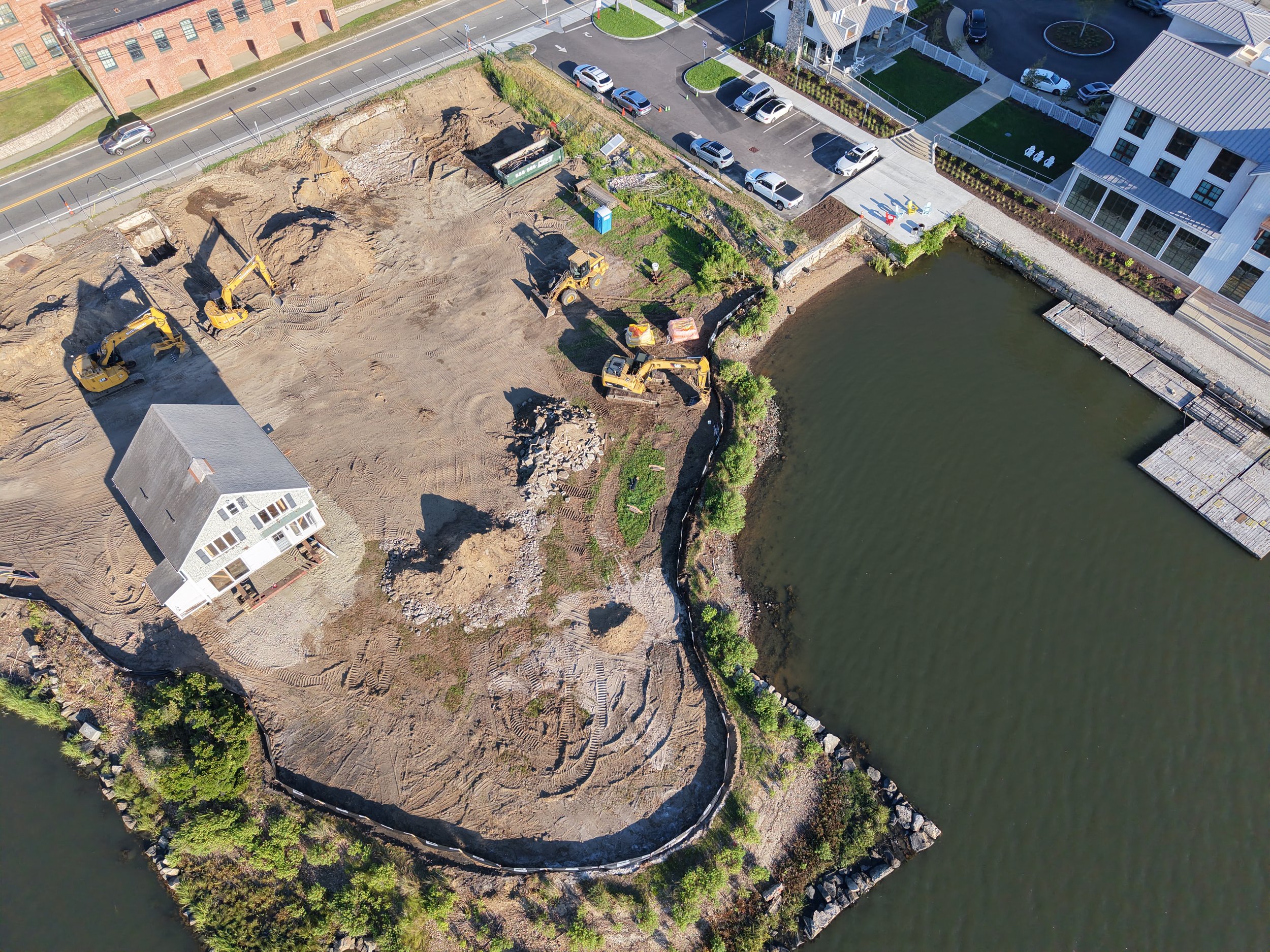
Construction
Site Records/ Progress Documentation
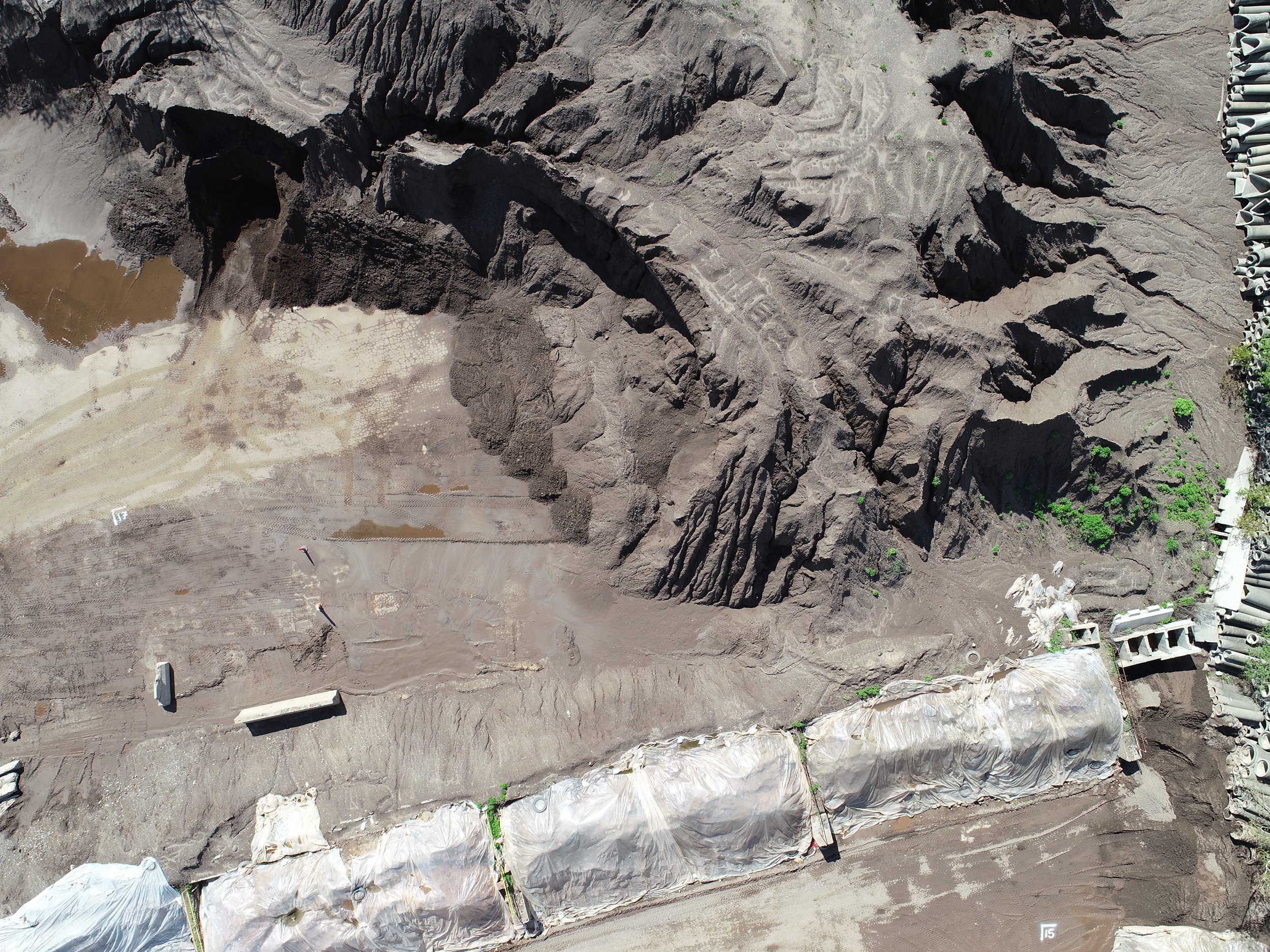
Stock Pile Volumes
Grade Maps
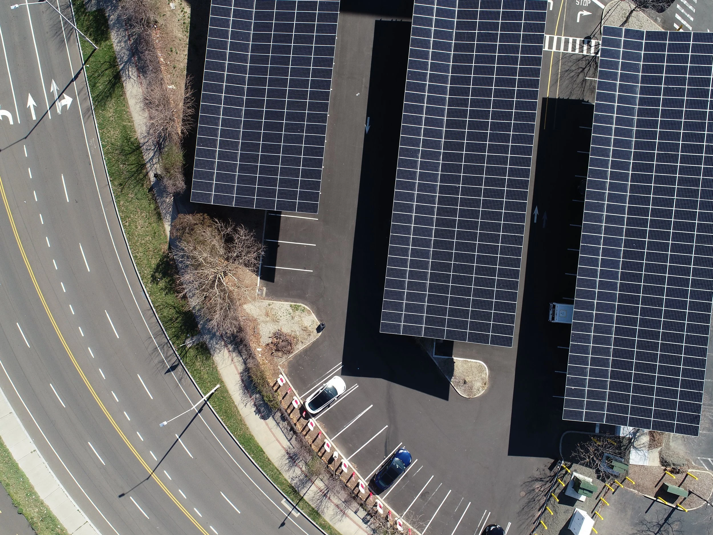
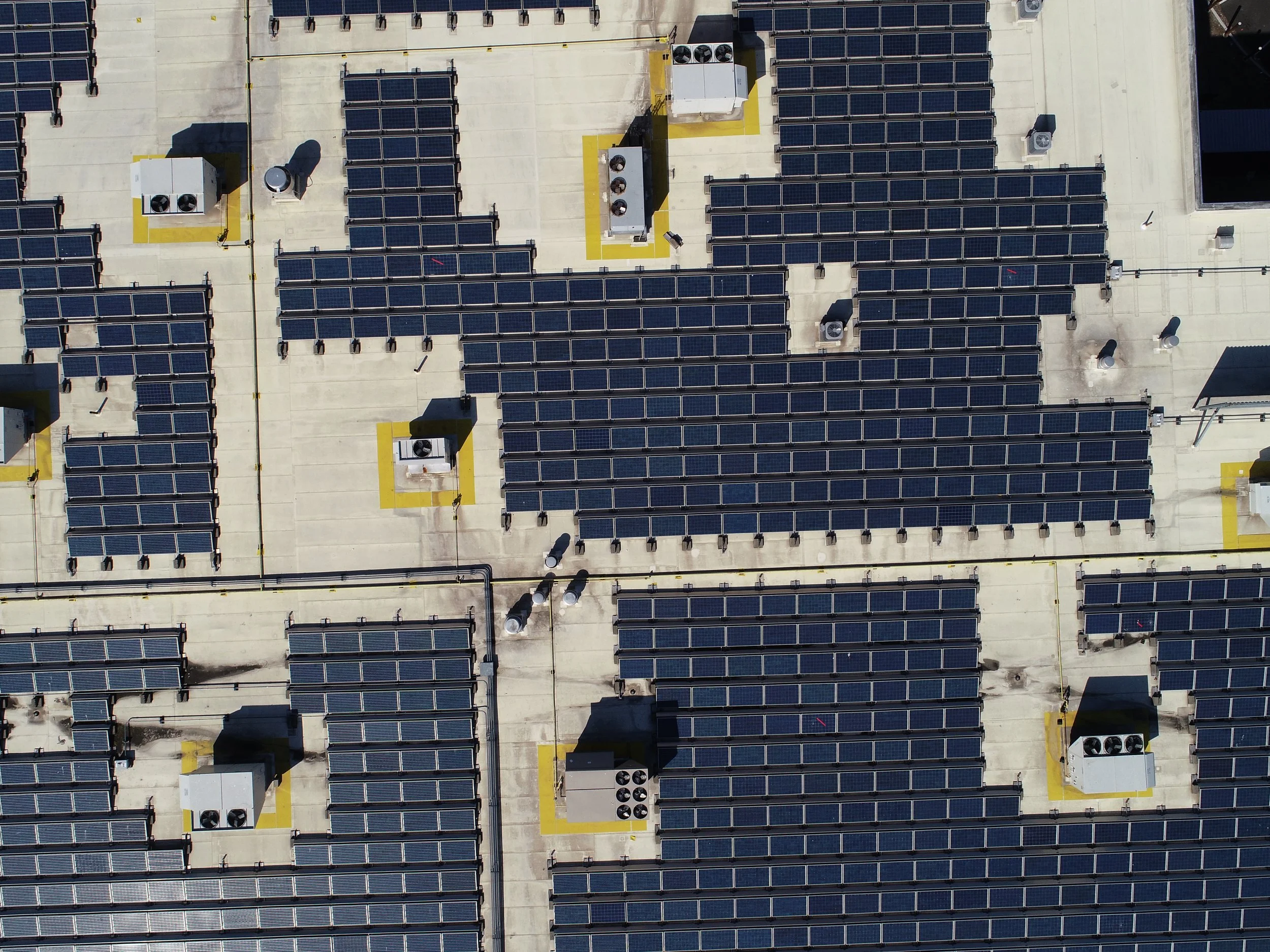
Roof Inspections
Survey
Topography
Real Time High Resolution Composite Aerial Imagery for Planimetrics
Reality Capture
Stockpile Volumes
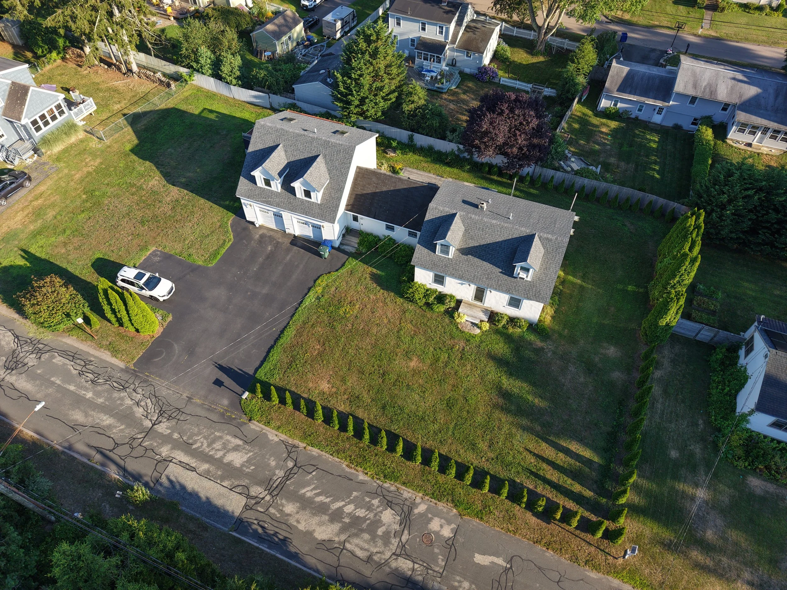
Real Estate and Advertising
Listings for houses, apartments, or vacations rentals
Advertising for storefronts, events, and signs
Advertising for roofers, asphalt layers, brickwork, concrete, and more
Environmental and Archaeological
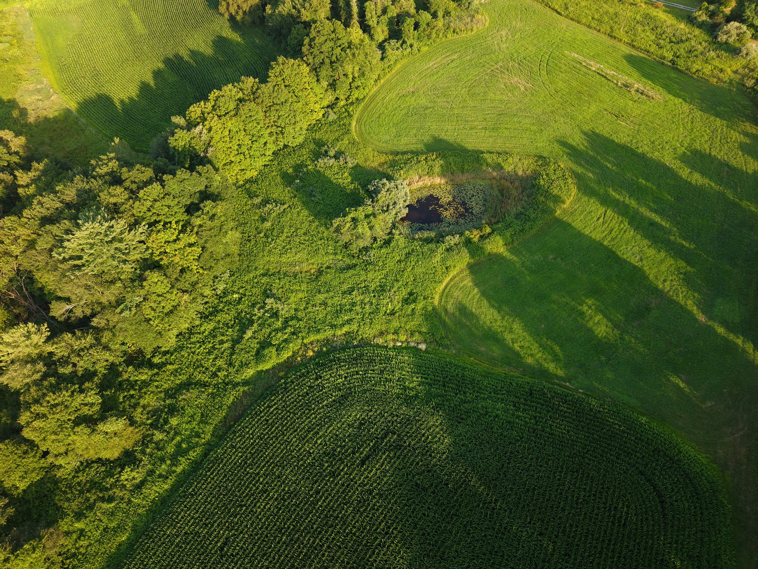
Agriculture, Forestry, Wetland survey
Farmland documentation
Archaeological survey and phase 3 documentation for CRM
Don’t see what you’re looking for? We may still be able to help! We offer services not listed here. Contact us today and let us provide your aerial imagery solutions.
What you can expect
Timely Work, Low Costs, Great Results
We understand the need for reasonable turn around times, transparency in cost, and open communication. We will work with you to put together a price, time line, and preferred communication pipeline.
FAA Part 107 Certificate Holding Pilots
Our pilots hold the FAA part 107 certificate for remote pilots, allowing them to fly commercial projects with the knowledge to keep your property and those around you safe, and to keep the flight well within legal requirements and regulations.
Liability Insurance Coverage
We hold liability insurance for that extra piece of mind. Is your project on a hazardous site or does your company require 1M+ in coverage? No problem, we can handle that!
Our Story
Z Axis Aerial Imagery was born to fill a gap in the industry that exists between large projects for manufacturing and agricultural businesses that require manned aircraft to run, and smaller personal drone businesses that cater to private events. We can handle both ends of this spectrum but our mission is to make expert aerial imagery accessible to more businesses and explore ways we can fit seamlessly in industries where aerial imagery would provide solutions to everyday problems.
Our pilots have worked on a diverse range of projects, on multiple continents, and have grown with the industry as the technology and standards have evolved into the current UAS landscape. We are excited to bring these expertise to your projects, and your company’s individual needs.
Based in Connecticut. Serving New England.
Licensed and Insured,
for your peace of mind.
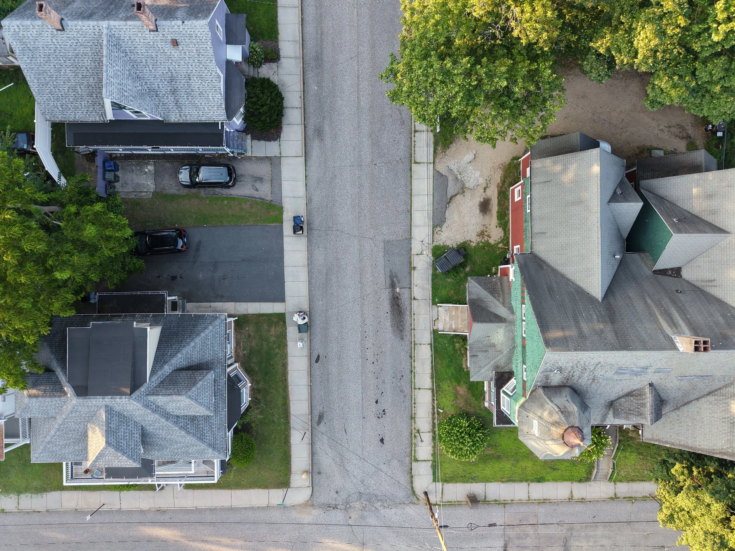
Take your site documentation to the next level with aerial imagery. Aerial monitoring reduces manual inspection frequency, enabling real time progress tracking, early detection of issues, and better stakeholder alignment. More frequent monitoring; fewer site visits; better coordination.
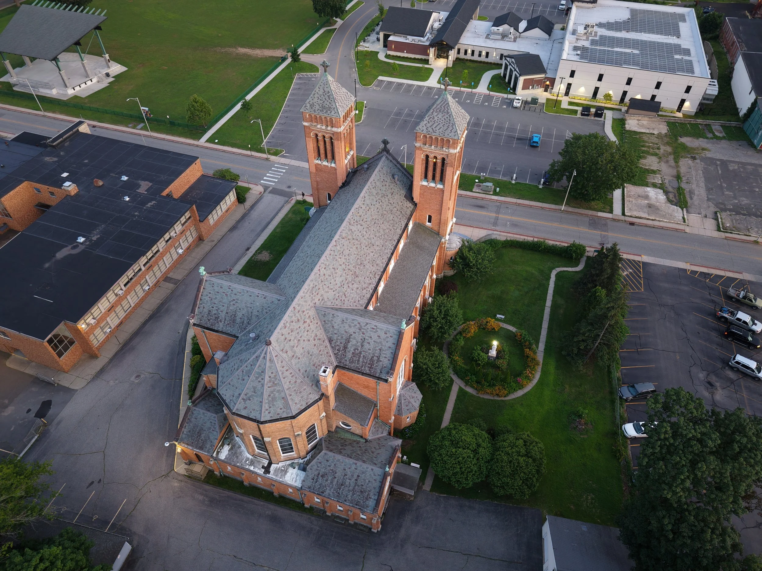
Still in the planning phase? Satellite imagery can be frustrating when it is out of date and low resolution. We can provide up to date composite imagery for planning, site work, proposals, and client presentations.
Roof inspections can be costly and time consuming. Our aerial imagery can reduce the time needed in the field and and provide a quicker turn around time for your reports.
Construction
Survey
Aerial Imagery and photogrammetry is a growing technology in the survey industry. Whether this is your first time supplementing your survey practices with aerial imagery or you have used these methods in the past, we can help you explore ways to cut down costs and time on your next project.
Do yo have a large topography project in an urban setting? We can help you drastically reduce the number of shots on the ground needed to produce accurate contours.
Georectified composite imagery can be used to reduce field time and allow your CAD drafters to pull planimetric line work straight from the imagery. We can work with your current surveyors to reduce time in the field and the office.
Stock pile volumes are tedious and costly when done traditionally. Photogrammetry can provide accurate measurements quickly, making daily or weekly checks possible.
Real Estate and Advertising
Aerial Imagery can help drive business through attractive advertising. Let us take visually impactful images of your business or your next event!
In Real Estate? Today’s homebuyers and renters expect more than static photos. Listings with drone footage attract more clicks, generate more leads, and close faster. Here’s what the research says:
Listings with aerial photos attract 68% more online views (World Metrics, 2025)
Engagement increases up to 83% with drone imagery (Imgix, 2023)
Properties with aerial visuals sell up to 68% faster (Digital Camera World, 2024; Twist Tours, 2023)
73% of sellers prefer agents who use drone photography (Imgix, 2023; Twist Tours, 2023)
Drone imagery improves perceived housing quality and desirability (ArXiv: Cross-Modal Learning, 2024)
Listings with video (including drone) receive 403% more inquiries (Digital Camera World, 2024)
Environmental and Archaeological research
Aerial imagery has been readily incorporated into research planning and reports in a variety of academic fields. Whether you’re in ecological preservation, Cultural Resource Management, or Urban Planning, aerial imagery can help you execute and record your projects.
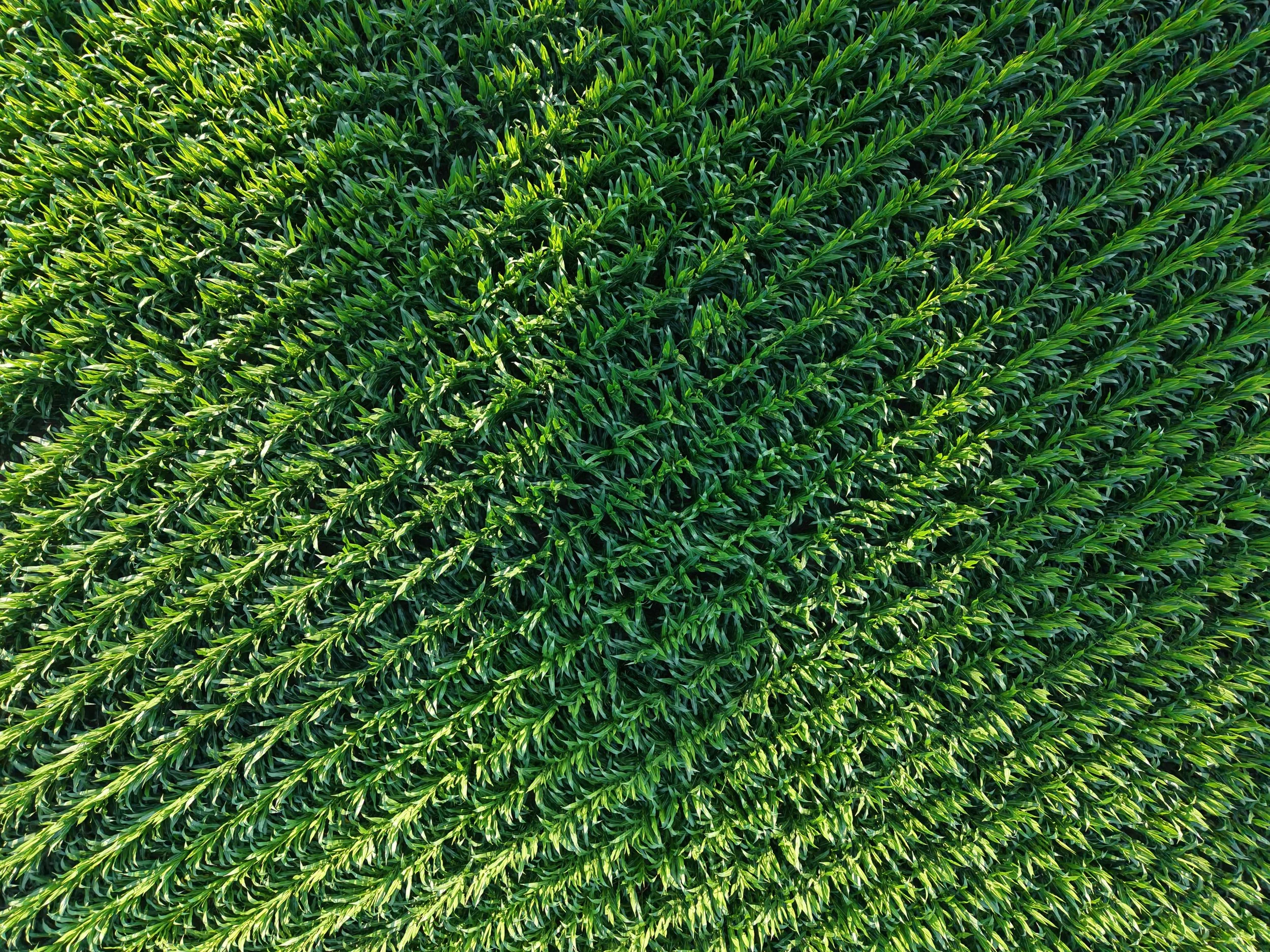
Do you have a farm or large tracks of land? Aerial imagery can give you a better understanding of your crop health, production, and extent. We can also track the extent of flooding, drought, or infestations.
Contact Us
and schedule the work you need done today!
Looking for a quote or scheduling? Fill out some info and we will be in touch shortly.
Have a file or image you want to send us? Email us directly at: zaxis.aerialimagery@gmail.com
We can’t wait to hear from you!